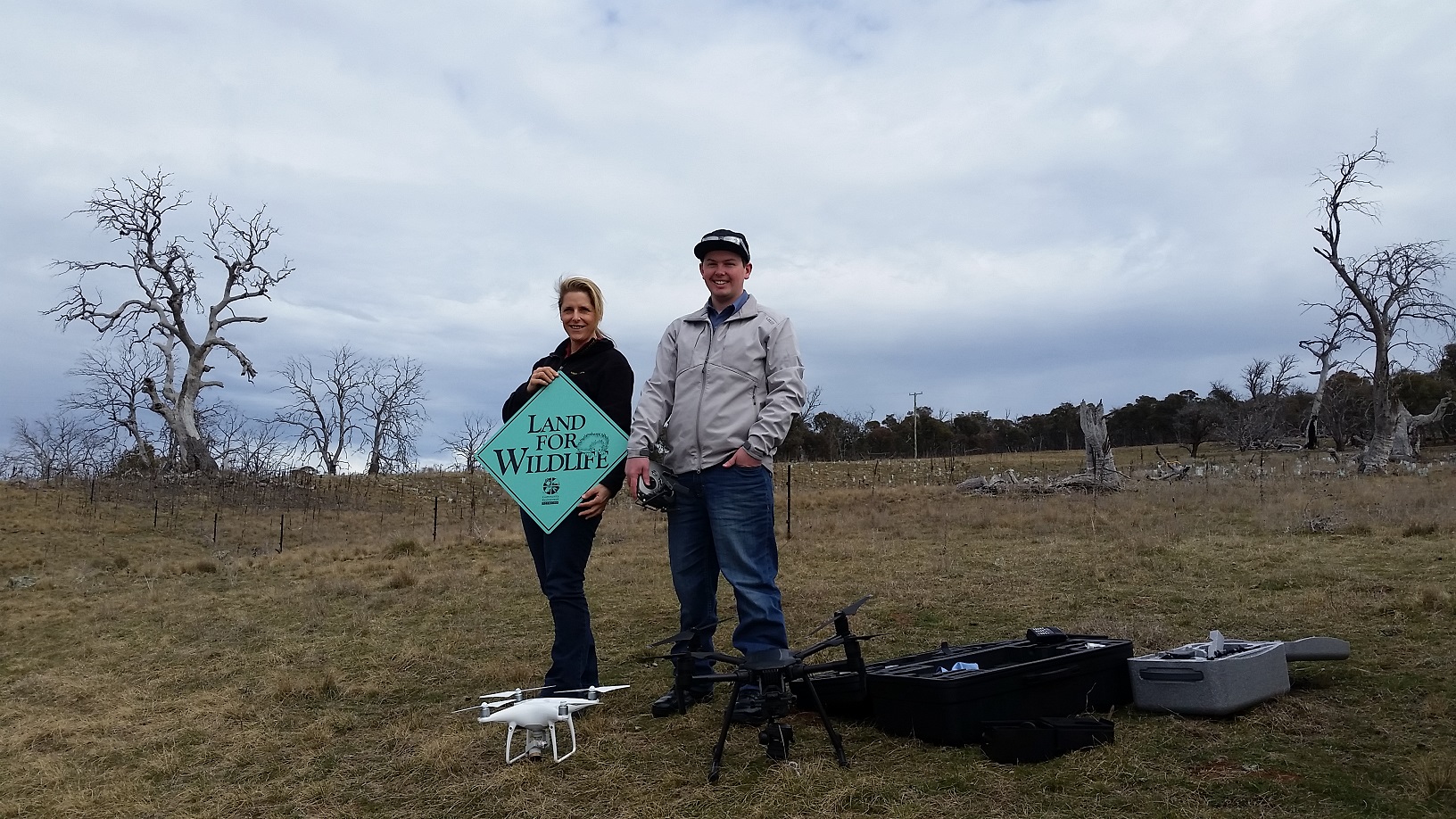
Upper Snowy Landcare have moved into the new age by engaging a drone to help survey existing tree and shrub revegetation plots in the dieback region on the Monaro.
Drone operator, Zachary Simpson, from ZRSPhotography (www.zrsphotography.com.au) has all the necessary tickets to operate his drones and obtains further approvals to lift his gear in the air around the Monaro region (including sites close to the airport south of Cooma).
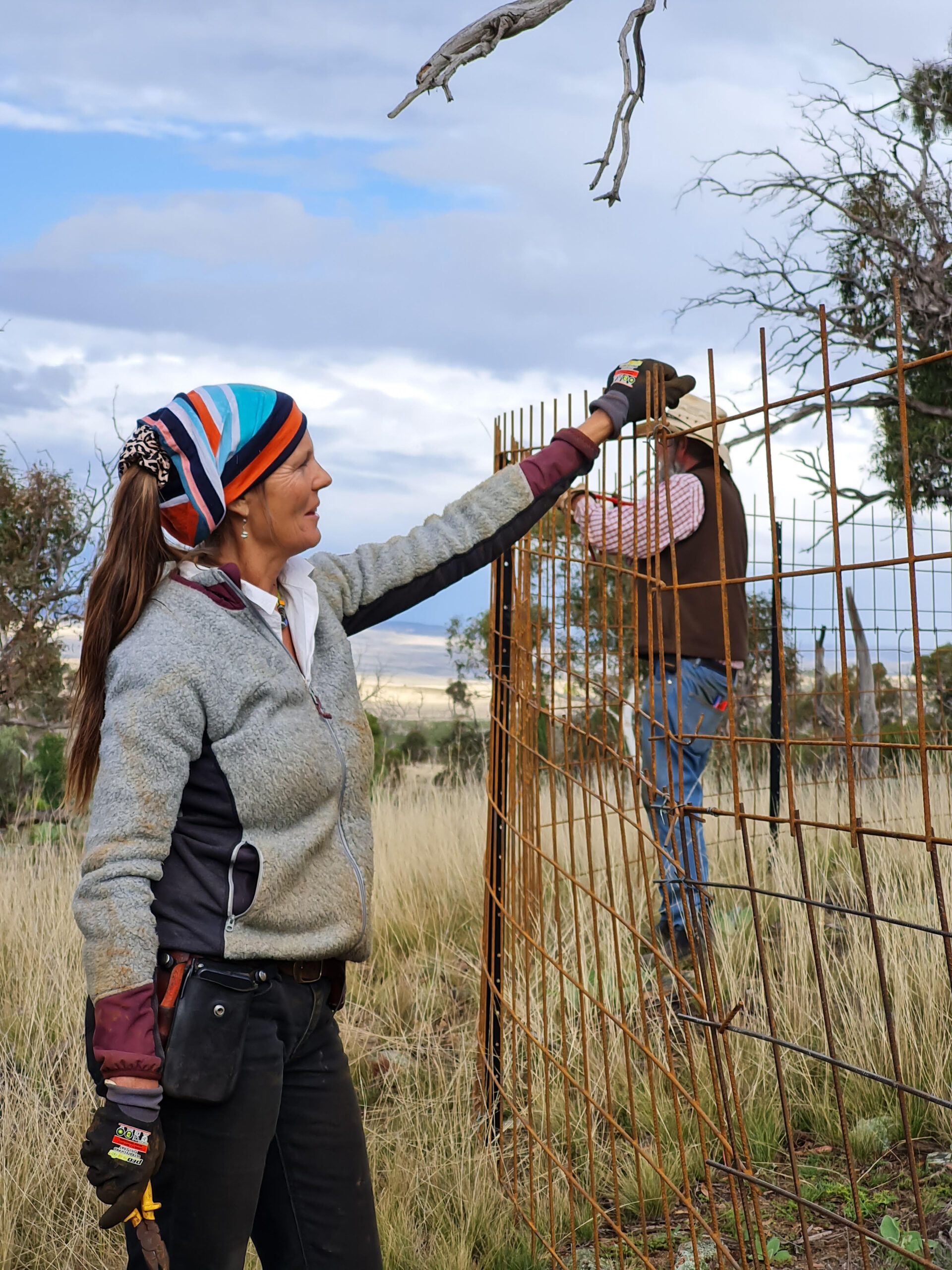
A ground crew walked the lines counting dead and alive trees and shrubs while Zachary flew his drone above in a grid pattern over the recently established plot just south of Cooma. The Upper Snowy Landcare, Chair Shane Trengove stated, “The clarity of the resulting drone images is amazing and we just may be able to do surveys from our computers using these images”.
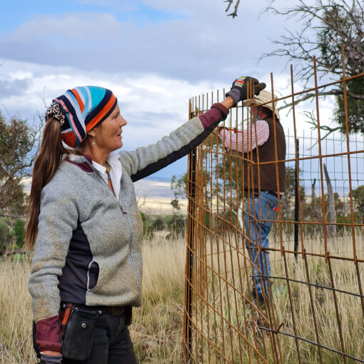
Upper Snowy Landcare have been working in partnerships with other groups like Greening Australia to try and put back some biodiversity in a direct and urgent attempt to provide replacement habitat in response to the tree dieback devastation on the Monaro.
Land for Wildlife has been able to offer baseline vegetation lists prior to planting out the biodiversity plots and has since helped with the recent surveys. Land for Wildlife surveys can be conducted on landholders properties for no fee. If you are interested email Lesley Peden on [email protected] or look at ww.environment.nsw.gov.au/cpp/LandForWildlife.htm
To keep apace of the Upper Snowy Landcare’s efforts to date take a look under projects at www.uppersnowylandcare.org.au
